Learning Style: |
Recorded webinar |
CPD hours: |
1 CPD hour |
Cost: |
|
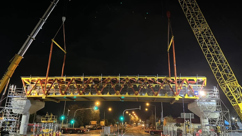
This webinar will introduce engineers to 3D laser scanning. You will learn from one of the most experienced laser scanning surveyors in New Zealand. It will cover scanning technologies and how they fit with drones and mobile mapping. You will learn about point clouds, imagery and modelling.
With a wealth of experience and examples Mark Finlayson will open up the world of laser scanning to you and your projects.
You will come away with a good knowledge of 3D laser scanning, you will understand how this technology can be harnessed in your day to day workflows.
Learning outcomes
This recorded webinar will cover:
- What 3D laser scanning is
- How it fits in to other capture methods
- How it works
- What the datasets look like
- How you can use it on your projects
- Likely costs of scanning
- How to specify scanning surveys
Intended audience
Engineers in design and project management roles.
Presenter information
Mark Finlayson
Mark Finlayson brings 26 years of surveying experience with spatial data. For the past 5 years he has led the Envivo 3D Laser Scanning team.
Mark has a Bachelor of Surveying with Distinction. His career includes 4 years of Hydrographic Surveyor where he was involved in seafloor mapping, positioning oil rigs, installing fibre optic cables, laying oil pipelines and offshore infrastructure. He worked actively in Singapore, Thailand, Papua New Guinea, Iran, Oman, UAE, Pakistan, the Persian Gulf, Indian Ocean, Gulf of Papua and the Gulf of Thailand.
Mark was also involved with the construction of the Jubilee Line and Parliament Station on the London Underground. Specific tasks included managing survey teams monitoring live tunnels and tracks, Big Ben and the houses of parliament, 10 Downing Street and other historic and culturally important sites.
Mark is currently Survey Director at Envivo and is excited to be involved with emerging surveying technology such as 3D laser scanning, GIS capture and BIM implementation. He relishes the challenge of getting the latest technologies working for his clients, whether its point clouds, Revit models or asset capture.