27 Jul 2022
The Tonga tsunami in January reinforced the need for tsunami preparation in ports and marinas in New Zealand. So how did our ports fare and are we ready for “the big one”?
The tsunami triggered by the eruption of undersea volcano Hunga Tonga–Hunga Ha’apai didn’t behave like a tsunami should, says Coastal and Environmental Scientist and Tsunami Hazards Specialist Dr Jose Borrero MEngNZ. He hadn’t expected it to make any big waves as far away as New Zealand, due to our distance from the source.
“This one was unusual because of the air pressure wave caused by the volcano that added energy to the tsunami in ways that we are still working to fully understand.”
While the country’s major commercial ports all fared well, experiencing no significant disruption or damage, Jose says Gisborne did see some large surges. In Wellington, there were some unusual seiches, with Wellington harbour oscillating for “an exceptionally long time”, many hours after the initial arrival of the tsunami. However, one place where maritime infrastructure was hit was Tutukaka on the east coast of Northland.
“It has an affinity for tsunami waves, and it gets strongly affected by what we would otherwise think of as a minor tsunami.”
Even so, the strength of the effects there were bigger than Jose had anticipated, and he’s part of a team looking at ways to modify the marina to make it less prone to tsunami currents.
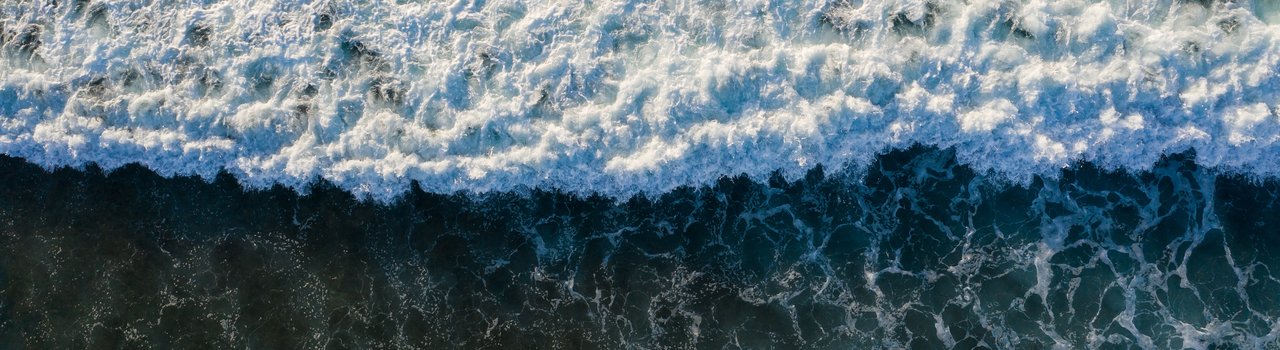
![Amphitreete-3[35]](https://d2rjvl4n5h2b61.cloudfront.net/media/images/Amphitreete-335.width-800.jpg)
Sunken boat at Tutukaka, Northland. Image: Alec Wilde, NIWA
So, as a country, how ready is our port infrastructure for “the big one”? Jose says we’ve started to make inroads, but a more coordinated effort between port companies and their governing bodies, such as regional councils, is needed.
“If we do have a major tsunami event, we could have multiple ports impacted at the same time.”
He says there are a range of engineering and maritime safety aspects to consider when looking to mitigate tsunami disasters in ports.
“You need to look at how high the water can go – overtopping – and inundation levels, and the current speeds that can be generated, then compare that with where critical infrastructure is located.”
When it comes to flooding, he says it’s “basically impossible” to prevent.
“You can’t build a wall high enough – well you could, but for the cost and environmental impact, it wouldn’t be cost effective.”
And hardening piers and pilings can only be done up to a point. He says when it comes to extreme events, it becomes very difficult to build things strong enough. The other option is soft mitigation efforts – measures such as anticipating strong events through modelling, and relocating key assets. Also, having a response playbook of pre-computed tsunami scenarios, a project Jose worked on for the Northland Regional Council with funding from the National Emergency Management Agency.
“We know we’re never going to have the exact one that’s in our book, but we can make models of things that could happen and make them in a way that when an event is unfolding, emergency managers can go to a page in this book and actually get a sense of what part of the port might be most strongly affected.”
Response plans can include how to assess whether there’s enough time to do an orderly evacuation of ships, and setting up systems for communications and information flow, particularly with tsunamis coming from the Pacific when there’s 10–12 hours' warning.
When tsunamis hit ports, it's the quays, where vessels are moored, that are at greatest risk, Jose says. They can be subject to impact force on the wharf or lateral forces that pull boats off their mooring lines.
“A lot of times we see ports that have sharp bends in their layout or narrow entrances between breakwaters. When a flow goes around a sharp bend, you get very strong currents and spinning whirlpools. This causes ships to rotate, easily breaking the mooring lines.”
Flat areas where containers are stored and log yards are also high-risk areas in tsunamis, due to the possibility of flooding setting containers and logs afloat, where they can become entrained in the flow and act as battering rams, causing more damage in other areas.
In New Zealand, some ports are more at risk of tsunami damage than others. The northern and eastern coasts of the North Island are vulnerable to similar types of tsunamis, especially those created on the subduction zone that sits just offshore, the Tonga Kermadec Trench, or the Hikurangi subduction zone.
“If we have a major earthquake on that structure, not only will we have multiple ports impacted from earthquake damage, but also from tsunami damage.”
The east coast is also at risk from a major event from South America. While our last big tsunami originated in Chile in 1960, Jose says recent modelling suggests there is greater risk from southern Peru and northern Chile. In August 1868, a large earthquake in this area caused 7m tsunami surges in Lyttelton Harbour.
“An event like that would have the potential to damage all the ports on the east coast, everything from Marsden Point right down to Timaru, with Lyttelton and Gisborne both being strongly affected.”
He says the country’s west coast, where there are fewer ports, is at less risk.
Jose says insurance concerns are prompting ports to place increased focus on tsunami mitigation work. He cites Lyttelton Port Company as an example of a port that has done this well, developing a comprehensive tsunami hazard analysis and trying to relate this to existing probabilistic assessments.
Aotearoa does have tsunami warning systems in place. For distant events, we’re connected with the Pacific Tsunami Warning System, which Jose says serves us well with big earthquake and tsunami events around the Pacific Rim. There’s also the Deep Ocean Assessment and Recording of Tsunamis (DART) tsunameters – a system comprising of a wave-measuring pressure sensor on the sea floor connected to a surface buoy that relays the data to operations centres through a satellite link.
“There’s an array of these around the Pacific Rim. They provide a direct measurement of the tsunami wave rather than us having to infer tsunami heights from earthquake models.”
New Zealand has recently deployed a series of our own DART buoys.
While Jose acknowledges tsunami modelling has its limitations, it is fairly accurate with current speeds and flooding areas.
“The trick is always the time you have available to make an assessment in real time. That’s being worked on in New Zealand, and the DART array is providing an excellent source of data to develop these models.”