Date: |
01 Jul 2026, 12.00PM – 1.00PM |
duration: |
1 hr |
Location: |
Online |
Cost: |
Free event |
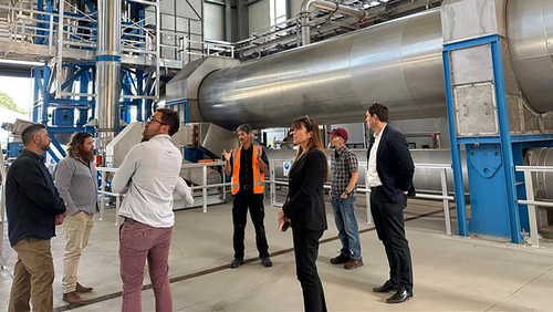
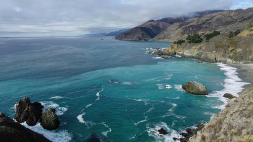
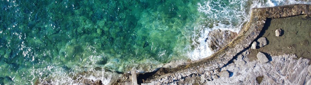
Drones are becoming an increasingly valuable tool for coastal practitioners, providing high-resolution data that can support monitoring, research, management, and decision-making. This webinar will bring together coastal professionals from around Aotearoa to share their experiences using drones for coastal monitoring and discuss how these technologies are being applied in practice.
Presenters will talk through their approaches to drone surveys, including data collection, processing workflows, and the monitoring products they generate. They will share examples of how drone-derived datasets are being used to track coastal change, support hazard assessments, and inform coastal management, while also reflecting on the practical challenges they have encountered along the way.
The session will provide an opportunity to learn from the successes, challenges, and lessons encountered by practitioners working in a range of coastal environments. Discussions will explore practical considerations such as survey design, data management, regulatory requirements, and integrating drone data into existing monitoring programmes.
Whether you are already using drones in your work or are interested in learning more about their potential applications, this webinar will provide valuable insights and an opportunity to connect with fellow coastal monitoring practitioners from across Aotearoa.
We look forward to welcoming you and sharing this discussion with the coastal monitoring community.
Join us for the first Aotearoa Coastal Monitoring Community webinar as we explore how drones are being used to monitor coastal change across Aotearoa and the opportunities and challenges, they present.
Drones are becoming an increasingly valuable tool for coastal practitioners, providing high-resolution data that can support monitoring, research, management, and decision-making. This webinar will bring together coastal professionals from around Aotearoa to share their experiences using drones for coastal monitoring and discuss how these technologies are being applied in practice.
Presenters will talk through their approaches to drone surveys, including data collection, processing workflows, and the monitoring products they generate. They will share examples of how drone-derived datasets are being used to track coastal change, support hazard assessments, and inform coastal management, while also reflecting on the practical challenges they have encountered along the way.
The session will provide an opportunity to learn from the successes, challenges, and lessons encountered by practitioners working in a range of coastal environments. Discussions will explore practical considerations such as survey design, data management, regulatory requirements, and integrating drone data into existing monitoring programmes.
Whether you are already using drones in your work or are interested in learning more about their potential applications, this webinar will provide valuable insights and an opportunity to connect with fellow coastal monitoring practitioners from across Aotearoa.
We look forward to welcoming you and sharing this discussion with the coastal monitoring community.