Date: |
21 May 2026, 5.30PM – 7.30PM |
duration: |
2 hrs |
Venue: |
WSP Whanganui |
Address: |
74 Ingestre Street Whanganui |
Cost: |
Free event |
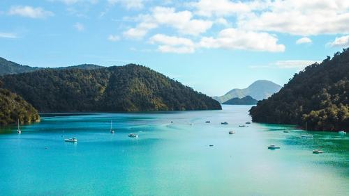
The 2023 North Island floods and Cyclone Gabrielle triggered over 140,000 landslides, causing $14.6 billion in damage and overwhelming our coastal environments. When traditional in-situ sensors failed during these peak conditions, a critical data gap was left behind.
Join the Whanganui Branch to hear from Massey PhD candidate Nasim Sadra. Nasim will discuss her research into using remote sensing to monitor coastal turbidity following extreme weather.
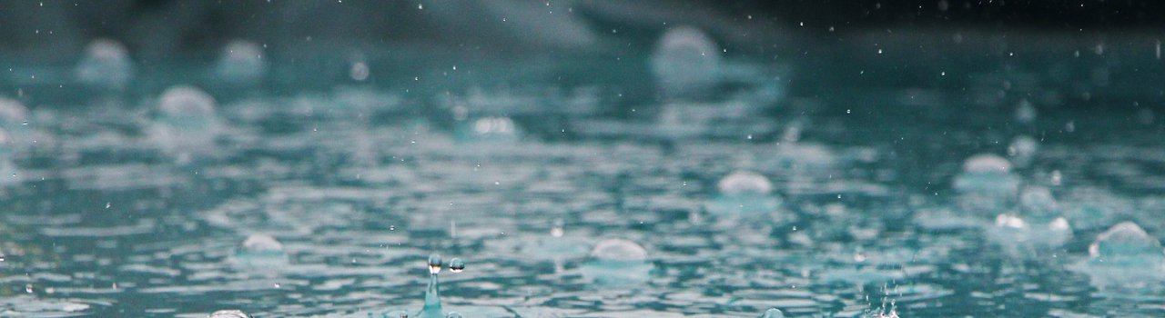
Learn how remote-sensed data can map post-event turbidity dynamics and optimise monitoring networks for water quality. This research provides a vital foundation for coastal infrastructure design and sediment transport assessment under future extreme weather scenarios.
Following the $14.6 billion impact of recent extreme weather, Nasim Sadra (Massey University) explores how satellite remote sensing can map sediment pulses and improve the resilience of New Zealand’s coastal infrastructure.
The 2023 North Island floods and Cyclone Gabrielle triggered over 140,000 landslides, causing $14.6 billion in damage and overwhelming our coastal environments. When traditional in-situ sensors failed during these peak conditions, a critical data gap was left behind.
Join the Whanganui Branch to hear from Massey PhD candidate Nasim Sadra. Nasim will discuss her research into using remote sensing to monitor coastal turbidity following extreme weather.
Learn how remote-sensed data can map post-event turbidity dynamics and optimise monitoring networks for water quality. This research provides a vital foundation for coastal infrastructure design and sediment transport assessment under future extreme weather scenarios.
Presenters
Whanganui Branch